
Where To Ride Gravel Bikes?
Plan Your Next Ride
Gravel fan and keen off roader, Natalie Creswick, talks us through the benefits of gravel riding and provides an in-depth look at planning the perfect off-road excursion.
Your Local Gravel Ride
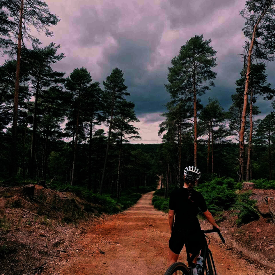
Head out the door, jump on the bike and see where the day takes you. Start off on the roads you’re familiar with and keep your eyes peeled for what is around. If something looks fun, go for it. Just take care to avoid designated footpaths which are usually clearly marked with a yellow arrow.
If you’re unsure of your sense of direction, pick a path and ride for 10 minutes before turning back the way you’ve come or put yourself in the lap of the gravel gods and enjoy getting lost. Sometimes you might end up on the road to nowhere or surrounded by the overgrowth and a path of rapidly diminishing dimensions, but it’s all part of being a gravelleur and submission to adventure.
Riding gravel opens up a whole new world of exploration and adventure by bike. No longer a slave to the asphalt, every interesting looking path or snicket suddenly becomes fair game.
Gravel Riding in the UK
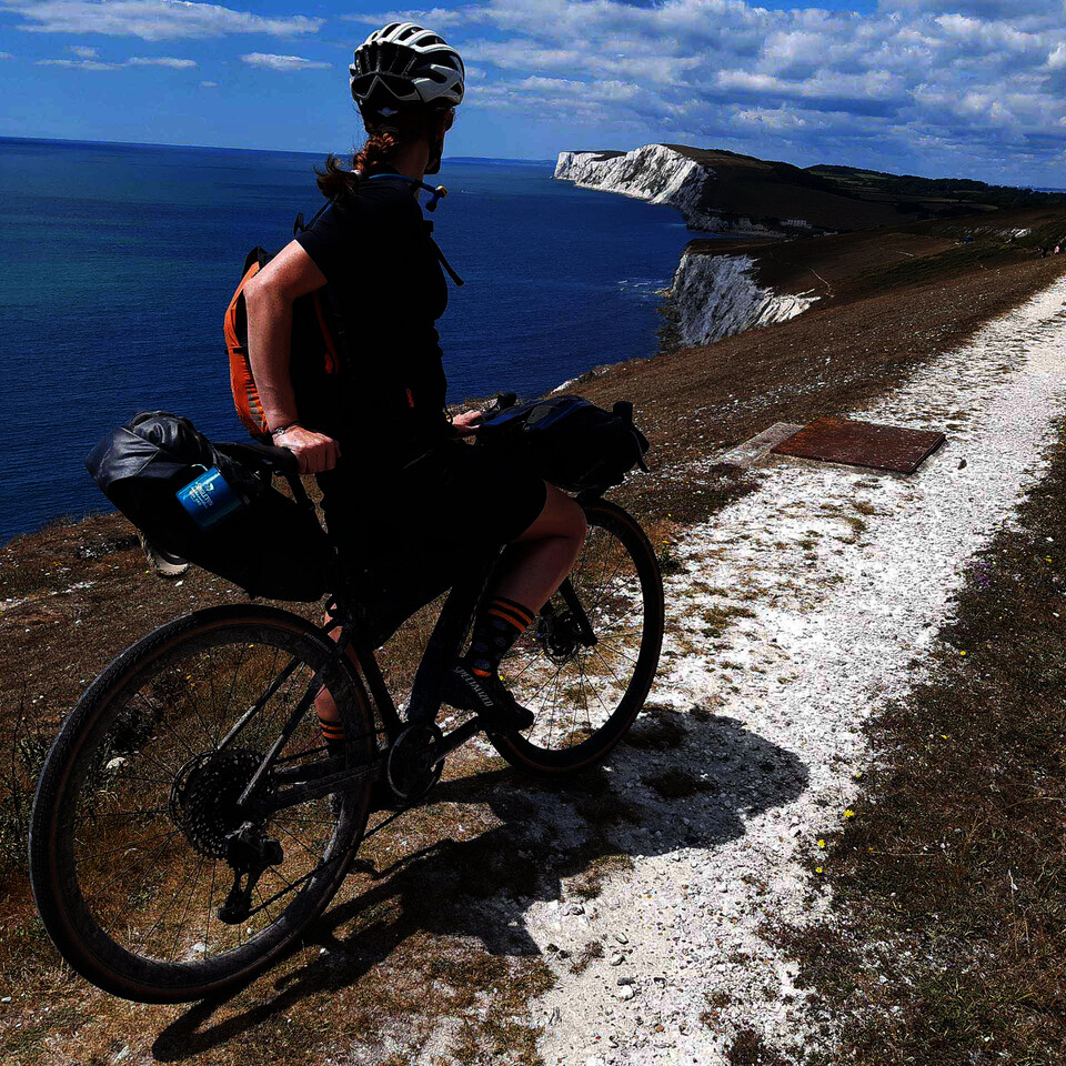
The UK is crisscrossed with routes that lend themselves perfectly to a gravel ride. The National Cycle Network has plenty of traffic-free routes, marked in orange on their map. Or if you like things fairly flat and well signposted, the closure of many railway lines in the UK created a web of rides like the Tarka Trail in Devon, the South Tyne Trail in Northumberland or the Red Squirrel Trail on the Isle of Wight. OS Maps have put together a handy guide to what’s around.
Our industrial past also provides thousands of miles of canal towpath, originally for horses to pull barges but now perfect for gravel riding. Often the paths cover long distances, such as Bath to London on the Kennet & Avon or the 127 miles of the Leeds and Liverpool canal, so you could plot a multi-day trip, dip in and out or ride one way and catch the train back.
You’ll also find that there is a treasure trove of routes online. Type your area and ‘gravel routes’ into a search engine and there will be lots of options.
Your Own Gravel Route
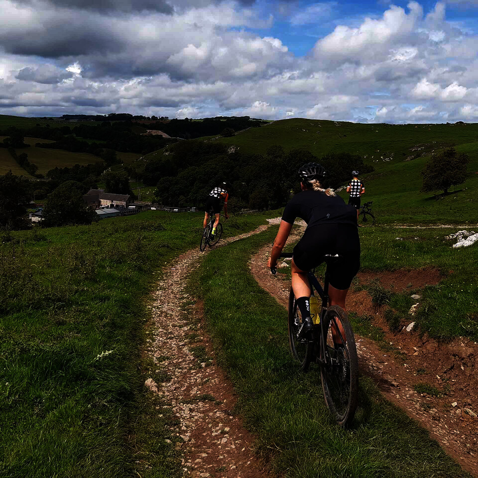
In the UK we’re lucky to have a system of bridleways and byways where cycling is permitted and many of them are gravel bike-friendly. There are a number of route plotting platforms available that can be used to knit together the trails.
My favourite is Komoot which allows you to plot all kinds of riding, as well as hiking or running routes too should you ever forget your cycling shoes. You can ask Komoot to create a route for you by selecting your start and finish points plus your bike style (road, MTB, gravel etc) and it will do all the work for you. Download onto your bike computer and you’re good to go.
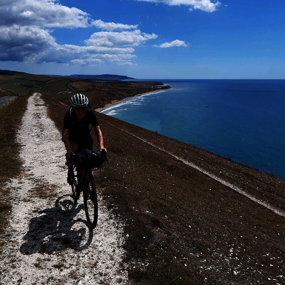
I love maps so prefer to craft something myself, spending time looking at what looks interesting. I use the OpenCycleMap option on Komoot, a free open-license mapping tool that clearly shows bridleways & byways with green and bike paths with blue dashed lines as well as existing national and regional routes. You plot your route by adding ‘waymarks’ on the trails you want to visit.
One of Komoot’s best features is their ‘Highlights’, user-added best bits. You see them dotted all over the place and they will point you to good gravel or fun things to see. When you’ve finished your ride you then also get to add your own favourite parts for others to benefit from.
I also tend to keep an eye on Satellite Google Maps when plotting a route on Komoot. Looking down on a trail means you can see if it’s gravel, grass or dirt.
In the dry summer months, most things are ridable but in the winter you might want to put on some deep-tread tyres or avoid the muddy places.
Challenging Terrain
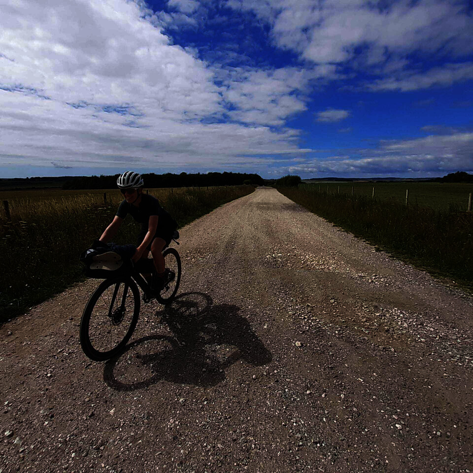
Some bridleways can also be more challenging to ride than others so just be aware that you might end up on something that is more technical than you feel comfortable with. There’s nothing wrong with getting off and walking if you aren’t quite sure. Starting off on canals or disused railways lines is a great way of honing your skills first.
OS MAPPING
OS Maps might bring back memories of getting lost while orienteering at school, but they are also a great tool for planning adventures. I love spreading out an OS map with a cup of tea or dram of whiskey as it gives you a big picture of what the terrain has to offer.
The downside is, they can be a bit bulky to carry and if you use one to navigate it can make things a bit slow going with frequent stops to check the map. After scheming up a route with an OS Map, I’d usually input it into Komoot so I can download it onto my Wahoo ELEMNT Roam GPS Computer and follow its directions, so I know where I am going.
We hope you have enjoyed this article! If you want to keep up to date with all Natalie’s adventures be sure to follow her over on Instagram. Feeling inspired? Check out our range of gravel bikes now.


